
Geophysical Consulting services
At Petralogix Engineering, Inc. we provide advanced geophysical consulting services that support infrastructure, environmental, and development projects across California. Our multidisciplinary team applies proven methods—including electrical resistivity, seismic, magnetic, electromagnetic (EM), and gravity surveys—to deliver high-resolution subsurface data. Whether you're planning new construction, assessing geologic risk, or locating utilities, we tailor each investigation to your project's specific needs.
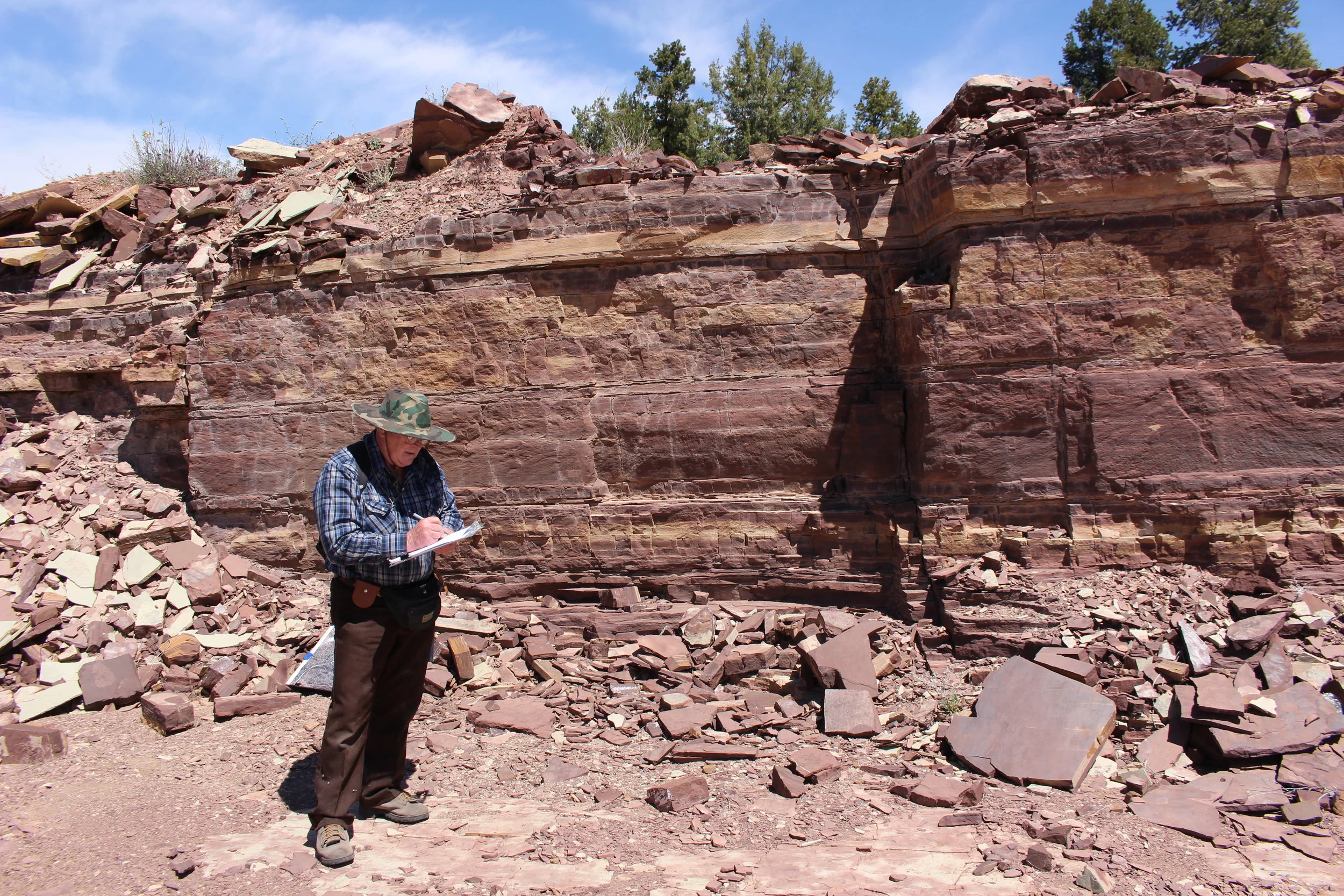
We specialize in seismic refraction and reflection analysis, resistivity profiling, magnetometry, EM induction, and radar surveys for a variety of applications—from fault and landslide mapping to buried infrastructure detection and environmental site characterization. Our integration of geophysics with geological review and geo-statistical modeling allows us to deliver reliable interpretations and reduce project uncertainty at every stage.
In addition to field surveys, Petralogix provides in-house data processing, 2D/3D modeling, and interpretation that translates complex geophysical results into actionable insights. Whether you're exploring groundwater, characterizing a contaminated site, or evaluating slope stability, our responsive team brings deep technical expertise and innovative thinking to help you move forward with clarity and confidence.