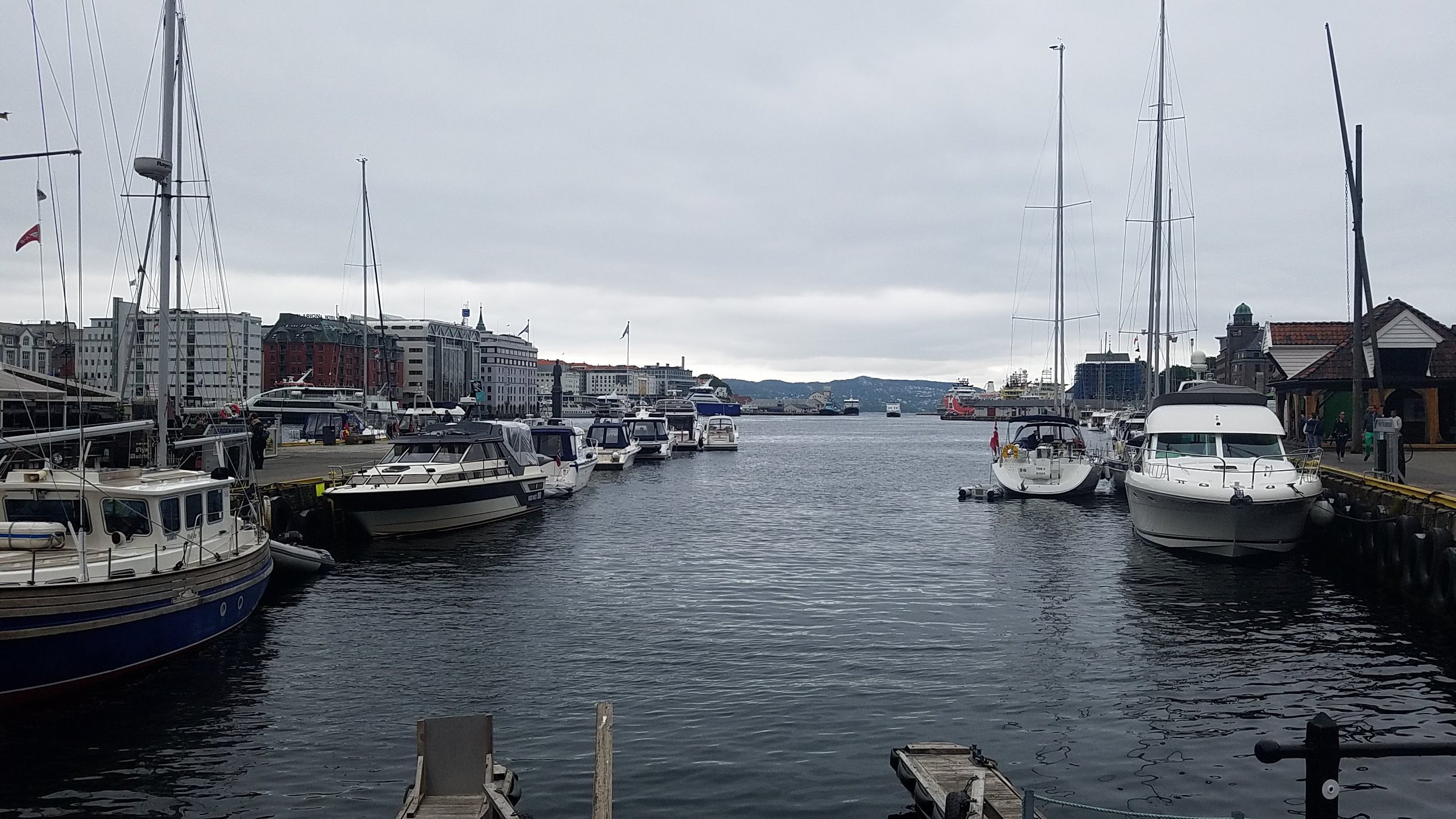
Hydrographic Services
At Petralogix Engineering, Inc., we provide high-resolution hydrographic survey solutions for both inland and coastal environments. Using advanced marine geophysical technologies, we map underwater terrain, infrastructure, and environmental features with precision. Our experienced team supports a wide range of projects—including marinas, levees, rivers, pipelines, and reservoir systems—with data you can trust for safe, efficient decision-making.
We offer specialized services such as sedimentation mapping, marina hazard assessments, levee inspections, and submerged pipeline and structure surveys. Our methods include side-scan sonar, real-time forward-looking sonar, and bathymetric mapping to identify hazards, track erosion, and evaluate infrastructure conditions. From pre-dredge planning to post-storm assessments, we adapt to your project’s scale and complexity with agility and accuracy.
For sensitive environments like estuaries and shallow rivers, our low-impact survey vessels and biological mapping capabilities allow us to gather critical data without disturbing habitat. We also provide search and recovery services for vessels, vehicles, and debris. With a balance of technology, field expertise, and environmental care, Petralogix delivers hydrographic insights that help projects move forward—on time, on budget, and with confidence.

